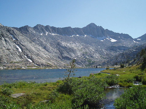
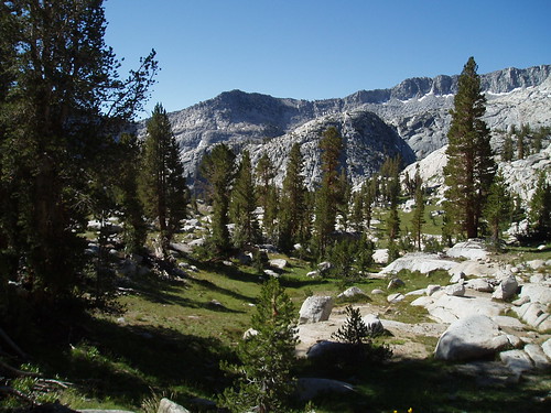
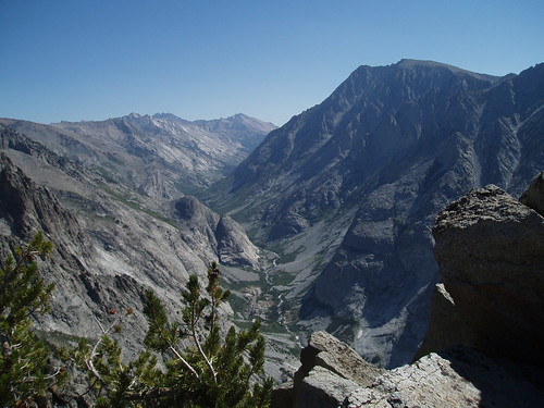
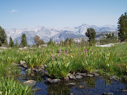
The directions are simple: take Highway 180 east from Fresno until the road ends, at a place with the whimsical and imaginative name of Road's End. Hike north on the Copper Creek Trail, 8 miles in and up 5,000', until you get to the top of the ridge. Hang a right off trail to Grouse Lake. Pass the lake and bear right to Mungoat Pass. Pick your way down the cliffy section on the north side of the pass, then follow the wide granite joint down to the lake. And you're there. More...
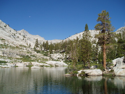
It isn't really on the way from anywhere to anywhere else. The High Route (which is to the John Muir Trail as the Mineral King Road is to Highway 99) passes northwest of here, on the Glacier Lakes side of the ridge. It isn't on the crest, and the closest peaks (State, Daugherty) aren't destination climbs--they get maybe a half dozen peakbaggers in a busy year. All it is is a perfect little self-contained landscape perched between the Muro Blanco and the peaks of Goat Crest. There's no reason to go there except to go there.
Which is reason enough for me.


2 comments:
The US Glen Coe again. Itching to travel
There's no reason to go there except to go there.
I was going to say "which is reason enough for me," but you already said it. Beautiful shots. Mrs. Generik will enjoy them thoroughly, I'm sure.
Post a Comment