Showing posts with label aerial. Show all posts
Showing posts with label aerial. Show all posts
Wednesday, November 15, 2017


Friday, November 3, 2017
Monday, October 30, 2017
Friday, March 18, 2016

Thursday, July 1, 2010
Above Yosemite

Here's another shot from my flight back from Boston last month. We flew over Yosemite around the latitude of the Tioga Pass Road, and the folks on the left side of the plane probably got a great view of the Valley while we on the right...didn't. But somewhere near the western boundary of the park, the pilot turned sharply south and then turned north again, so we on the right side got this view straight up the Valley (and Tenaya Canyon). That's El Capitan in the foreground, and of course Half Dome near the center.
Thursday, June 17, 2010
Travel Thursday: Up in the Air

Downtown Chicago.
In an airplane, you can be everywhere at once when you aren't anywhere at all. These are some shots I took on a flight from Boston to San Francisco a few weeks ago.
More...

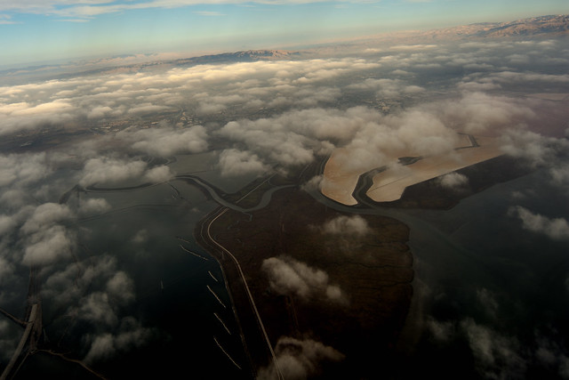
Salt ponds in San Francisco Bay.

Somerset Power Plant, Niagara County, NY.

Green River, Utah.

Eastern shore of Lake Huron.

Collegiate Peaks area of the Sawatch Range, Colorado.
Saturday, June 12, 2010
Shadow Shot Sunday

Cloud shadows in western Utah, seen from a BOS-->SFO flight last Monday (whirlwhind trip to MA is the reason I missed last week's SSS).
Shadow Shot Sunday: all the cool kids are daring you to try it.
Friday, January 9, 2009
This One's for Generik

Because I feel confident he can identify the location. (No clicking through to the Flickr page, though.)
Subscribe to:
Posts (Atom)

